

I'm a few months late posting this trip report, but in August friends and I re-visted the Shaver Lake area and ended up driving out to the end of the road near the crest of the Sierras.
Summary
This is a mostly easy route that gets you way back into the Sierras and feels very remote, though you aren't really that far from "civilization" The Kaiser Pass and Onion Springs sections would be good for someone new to overlanding who wants to get out and explore but not run a difficult trail.
Difficulty (may change)
Rock Creek Road is graded dirt and easy, you can loop from Dinkey Creek up to 168
Bald Mountain has multiple routes that range from moderate to somewhat difficult
Kaiser Pass is paved, but has lots of potholes
Onion Valley Trail was easy and didn't require us to use 4wd
Dusy Ershim is very difficult
We camped the first night off of Rock Creek Road and then drove to the top of Bald Mountain. There are already a ton of posts covering that area so I won't go into detail. We then headed north east torwads Huntington Lake and headed up Kaiser Pass Rd. Kaiser Pass is one of the higher paved roads in California and is narrow with many potholes that get worse the farther you go. There are some areas where it is impossible to pass, and if you run into the garbage truck at an unfortunate location you may end up backing up a series of turns with a significant drop off on one side. There are very limited resources in this area so be sure to bring enough water and fuel.

There are several nice campsites around the Portal Forebay, we were there on a summer weekend and saw very few people.

After Portal Forebak the road splits and you can head south towards Florence Lake or north towards Lake Thomas A Edison. Our ultimate goal was to run the Onion Springs OHV route so we headed north. On the way you pass Mono Hot Springs which is worth a quick stop and the road to the Bear Creek Diversion Dam. We didn't have time to explore Bear Creek, but I've heard it's a fun road over the rocks to the dam.

Driving along the backside of the dam at Lake Thomas A Edison

Vermillion Vally Resort (with "resort" in quotes) is a popular stop for hikers on the trails in the area, including the PCT. The resort has showers, a campground, good looking bbq, and a small general store. They run a shuttle to the far end of the lake to ferry hikers back and forth.


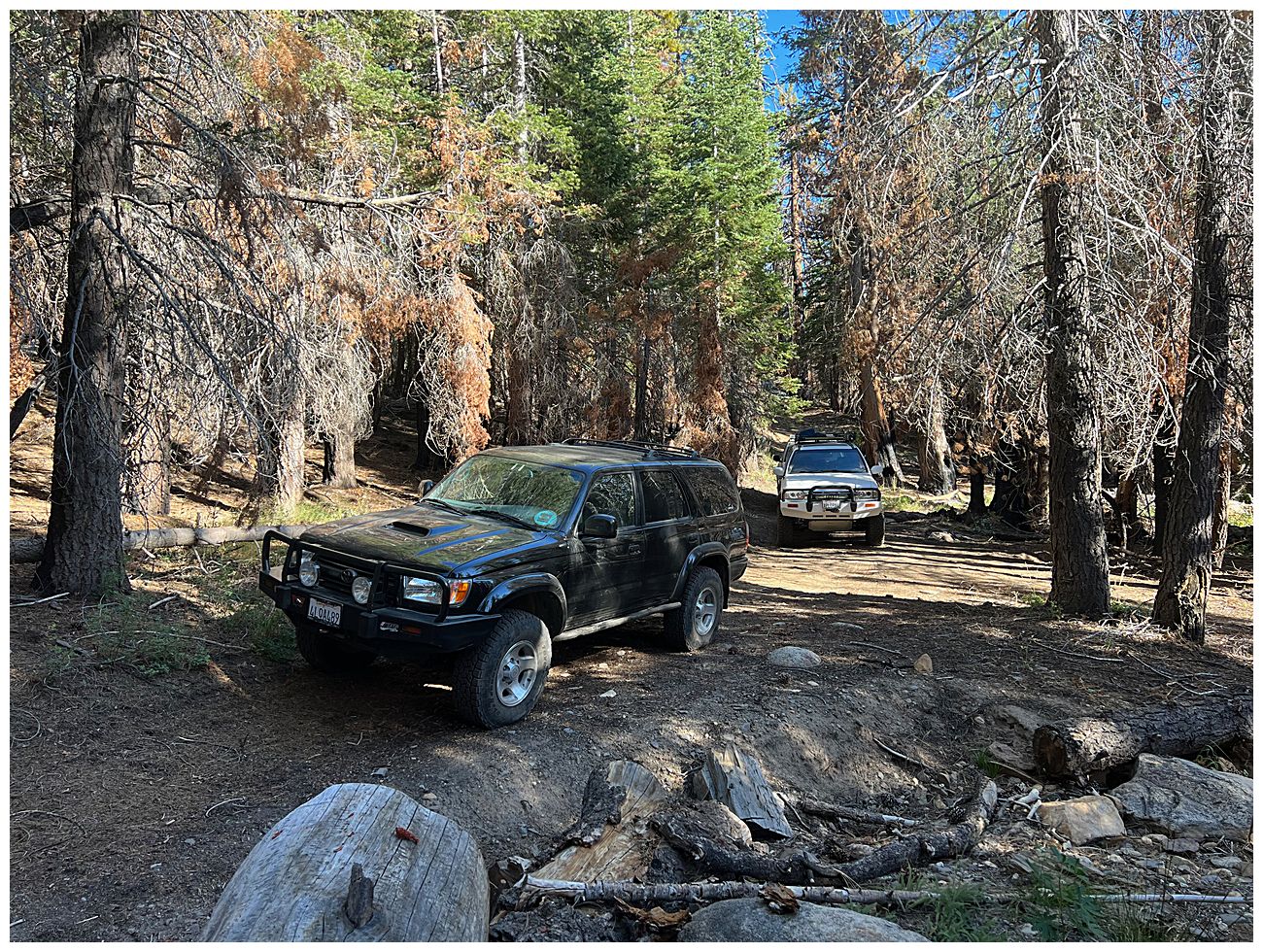
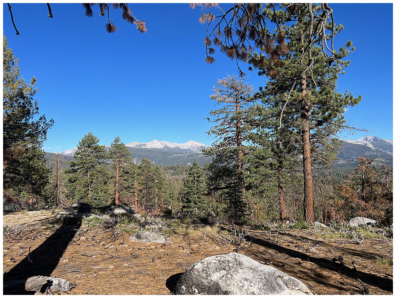
The Onion Valley trail is a few miles past the resort. This is a very easy trail, I don't think we needed 4wd at all, and unfortunately the area was burned but there are some nice views of the crest of the Sierra. The trail dead ends at a gate and a few burned out signs. The road continues after the gate, and I can't help wondering where it goes.
The water level was very low so we were able to drive down the boat ramp and quite a long distance out into the lake (which looked humorous on the GPS track).


It was getting late in the day so we camped in a clearing next to the lake and enjoyed the sunset.


On the way back we stopped to check out the north end of the Dusy Ershim Trail. This is a very difficult trail (think 30 miles of the Rubicon) and while I've driven several miles into the south end previously I've never run the whole thing since it started snowing while we were there. We didn't have a lot of time this trip, but we did drive in a few miles and had fun in a few rock gardens before turning around to head home.


Looking back at Lake Thomas A Edison

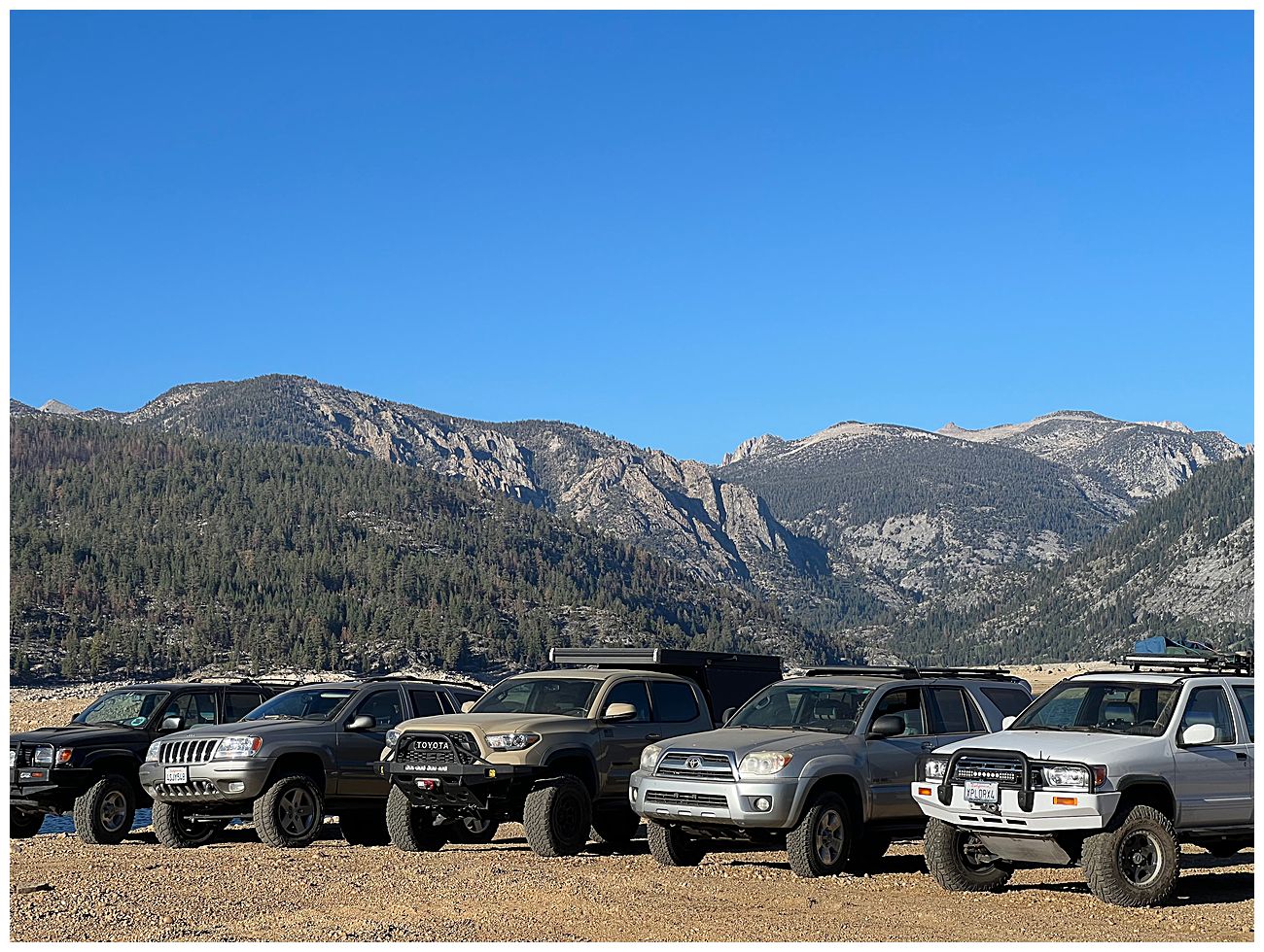
We stopped at Huntington Lake to air up, and discovered that one truck had a split side wall so we swapped on the spare tire. While doing that a friend decided to transfer fuel from a can into his truck, and wound up spilling gas all over himself (twice). Two public safety announcements: 1) Be careful when opening a jerry can that it is pressurized due to altitude. 2) Be careful when you tip the jerry can because there may be a pressurized bubble in the handle just waiting to shoot more gas at you.
If you want to run other trails in the area Brewer Lake is a good one. There are several trails to other lakes which we plan to explore in the future.
Summary
This is a mostly easy route that gets you way back into the Sierras and feels very remote, though you aren't really that far from "civilization" The Kaiser Pass and Onion Springs sections would be good for someone new to overlanding who wants to get out and explore but not run a difficult trail.
Difficulty (may change)
Rock Creek Road is graded dirt and easy, you can loop from Dinkey Creek up to 168
Bald Mountain has multiple routes that range from moderate to somewhat difficult
Kaiser Pass is paved, but has lots of potholes
Onion Valley Trail was easy and didn't require us to use 4wd
Dusy Ershim is very difficult
We camped the first night off of Rock Creek Road and then drove to the top of Bald Mountain. There are already a ton of posts covering that area so I won't go into detail. We then headed north east torwads Huntington Lake and headed up Kaiser Pass Rd. Kaiser Pass is one of the higher paved roads in California and is narrow with many potholes that get worse the farther you go. There are some areas where it is impossible to pass, and if you run into the garbage truck at an unfortunate location you may end up backing up a series of turns with a significant drop off on one side. There are very limited resources in this area so be sure to bring enough water and fuel.
There are several nice campsites around the Portal Forebay, we were there on a summer weekend and saw very few people.
After Portal Forebak the road splits and you can head south towards Florence Lake or north towards Lake Thomas A Edison. Our ultimate goal was to run the Onion Springs OHV route so we headed north. On the way you pass Mono Hot Springs which is worth a quick stop and the road to the Bear Creek Diversion Dam. We didn't have time to explore Bear Creek, but I've heard it's a fun road over the rocks to the dam.
Driving along the backside of the dam at Lake Thomas A Edison
Vermillion Vally Resort (with "resort" in quotes) is a popular stop for hikers on the trails in the area, including the PCT. The resort has showers, a campground, good looking bbq, and a small general store. They run a shuttle to the far end of the lake to ferry hikers back and forth.
The Onion Valley trail is a few miles past the resort. This is a very easy trail, I don't think we needed 4wd at all, and unfortunately the area was burned but there are some nice views of the crest of the Sierra. The trail dead ends at a gate and a few burned out signs. The road continues after the gate, and I can't help wondering where it goes.
The water level was very low so we were able to drive down the boat ramp and quite a long distance out into the lake (which looked humorous on the GPS track).
It was getting late in the day so we camped in a clearing next to the lake and enjoyed the sunset.
On the way back we stopped to check out the north end of the Dusy Ershim Trail. This is a very difficult trail (think 30 miles of the Rubicon) and while I've driven several miles into the south end previously I've never run the whole thing since it started snowing while we were there. We didn't have a lot of time this trip, but we did drive in a few miles and had fun in a few rock gardens before turning around to head home.
Looking back at Lake Thomas A Edison
We stopped at Huntington Lake to air up, and discovered that one truck had a split side wall so we swapped on the spare tire. While doing that a friend decided to transfer fuel from a can into his truck, and wound up spilling gas all over himself (twice). Two public safety announcements: 1) Be careful when opening a jerry can that it is pressurized due to altitude. 2) Be careful when you tip the jerry can because there may be a pressurized bubble in the handle just waiting to shoot more gas at you.
If you want to run other trails in the area Brewer Lake is a good one. There are several trails to other lakes which we plan to explore in the future.


