Advocate I
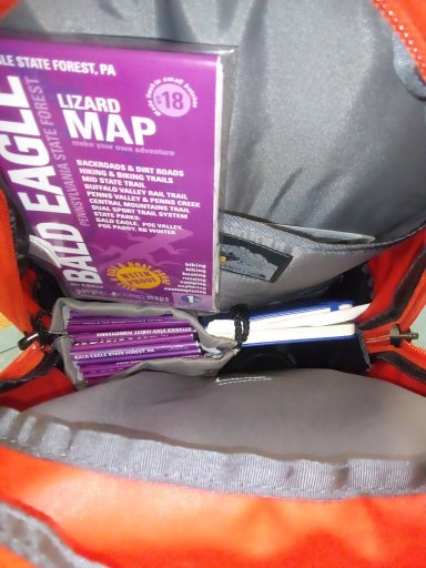
I'll be the first to admit my 109 is not weathertite, not like a new car at all. If I want to hit the trail for multiple State, long time travel I have to take into consideration potential damage to maps and books. Even if it was weathertite there is still a storage issue and daily wear-n-tear floating around in the Rover.
View attachment 206459
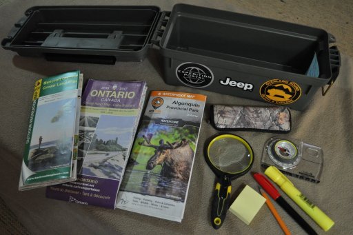
I found a couple of Nanuk cases are working for me. I have a 923 and a 925, the 925 is a 1/2" deeper.
View attachment 206460
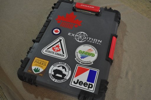
View attachment 206461
Made in Canada, eh!
So what do you use?
View attachment 206459
I found a couple of Nanuk cases are working for me. I have a 923 and a 925, the 925 is a 1/2" deeper.
View attachment 206460
View attachment 206461
Made in Canada, eh!
So what do you use?