There are so many possibilities in these days for plannning, mapping and navigation. I prefer a mix of classic paper based maps and the modern digital world.
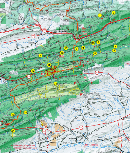
For planning a journey I still use paper based maps. Also while on the road, I see paper based maps as useful to get a good overview especially on long distance journeys and as backup if electronics stuff fails.
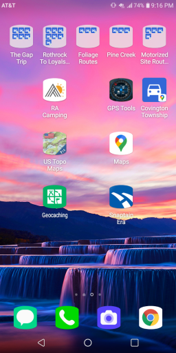
For navigation purposes I use my old but mighty and very robust Garmin 278. The device has been through a lot. I hope it will still last some time. Beside that I use a 10" Tablet, Android based and running Oruxmaps and OB1 for mapping and navigation purposes. And of course other apps such as iOverlander, customs apps, translators, road condition apps, weather forecast apps, official travel advise apps...
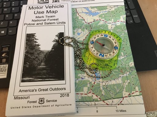
In addtion I always have a marching compass for hiking with me. Just in case of electronic navigation fails.
You could find more setups and ideas for example here:
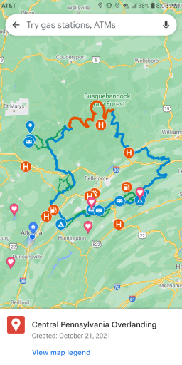
This is more curiosity than a question, wondering what is used for mapping your journey and navigating your route? I use three different applications; on my phone, I have the free version of Gaia GPS and of course google maps. In my vehicle, I have a Garmin Nuvi 50LM Navigator and a handheld...

www.overlandbound.com