Advocate III
- 5,584
- First Name
- Michael
- Last Name
- Rose
- Member #
-
20990
- Ham/GMRS Callsign
- W7FSB
- Service Branch
- US ARMY Retired
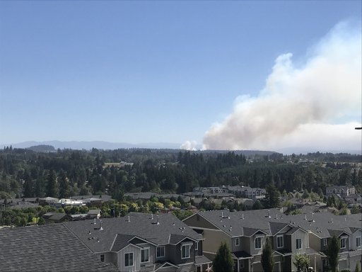
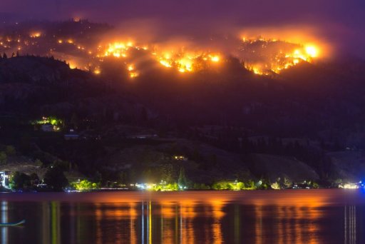
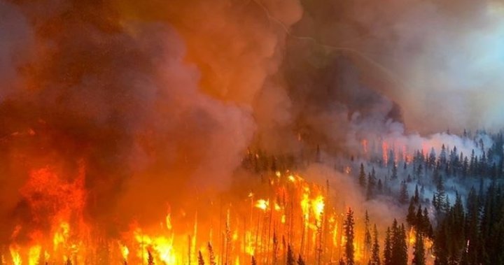
Oregon and washing are in severe fire danger conditions. Use extreme caution while enjoying your outdoor freedoms.
Here in Oregon it is required when traveling through government owned lands to carry the fallowing items wether day tripping or camping.
Shovel
Axe
5# AB fire extinguisher
1 gallon of water.
These items must be in the vehicle and be easily accessible at all times. As some of you who have been out on trips with me in the past know, I make the first three mandatory for all my trips regardless of fire season. As overlanders we should have a lot more than 1 gallon of water with us, so I feel water is common sense.
Camping restrictions are in place. All open fires are prohibited except in a Forest Service aproved metal or concrete fire pit at designated camp grounds. The use of Charcoal is prohibited.
Liquid Stoves, Lanterns, and heaters are authorized as long as a 3’ circle has been cleared of all flammable materials.
No smoking outside your vehicle unless a 3’ circle has been cleared.
Overland Bound did a live stream yesterday talking about fires and fire safety
Attachments
-
87.7 KB Views: 51
Last edited: