Enthusiast III
- 1,116
- First Name
- Russell
- Last Name
- Miller
- Member #
-
22447
For some reason the first thread keeps crashing and I can't edit or add anything to it... Is anybody else having problems loading in the photos? I'm going to start a new thread with the photos reduced in size to see if that works...
I'll start with the last couple of posts from the other thread as that seems to be when the trouble started...
Here we go...
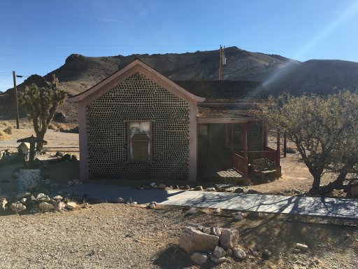
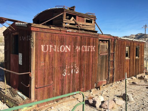
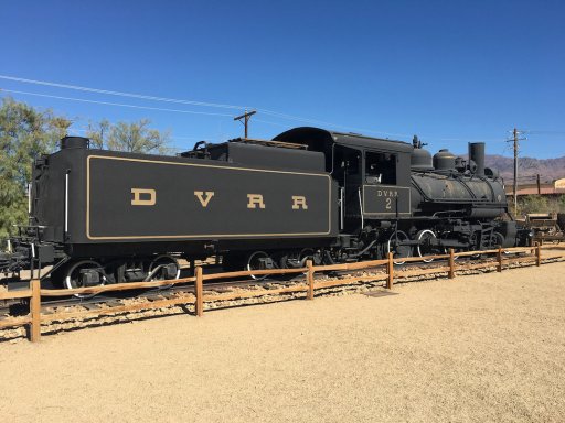
Lunch at Furnace Creek was nice... Most of us sat at the picnic benches in the shade at the Borax Museum. This outside museum has some nice artifacts to see, including this Death Valley Railroad locomotive.
We made a quick stop after lunch at Zabriski Point to take in the view dominated by Manly Beacon.
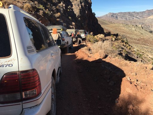
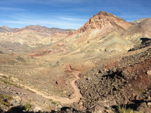
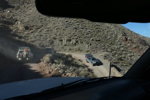
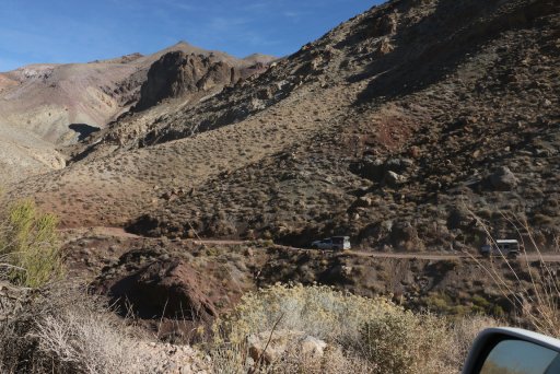
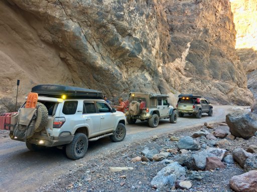
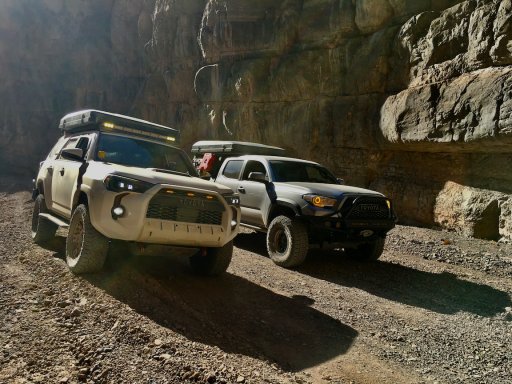
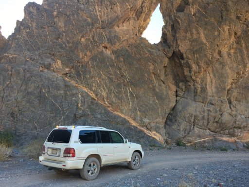
From there, we back-tracked a bit, aired down and headed up popular Echo Canyon. We only stopped once at Eye of the Needle before getting to the Dry Falls...
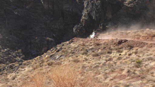
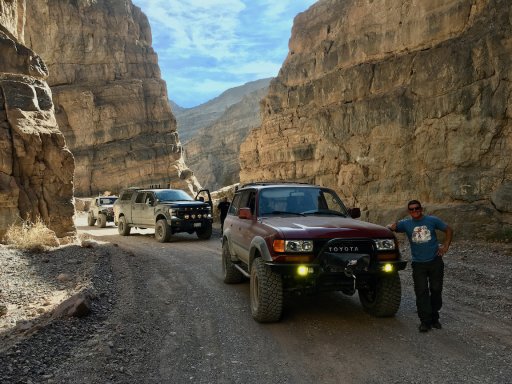
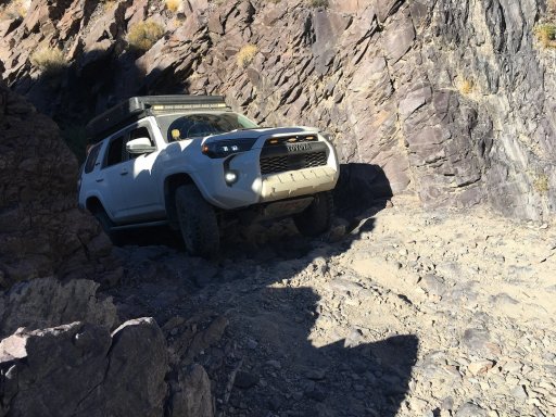
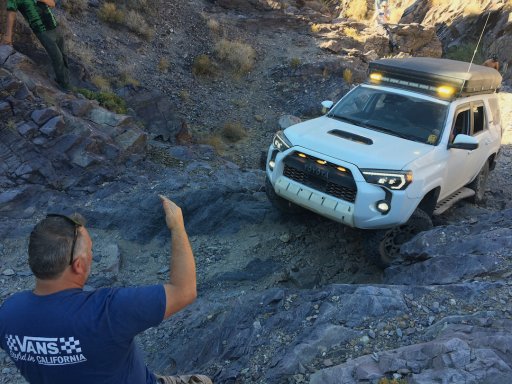
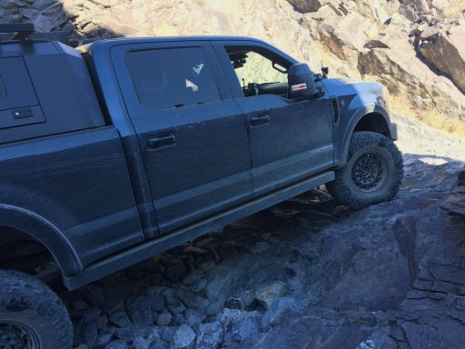
We saw many Jeeps heading down Echo Canyon... All were dejected saying the falls were impassable. When we arrived there was a small crown eying the falls and enjoying the attempts. Both Greg and Bobby drove up the falls with what seemed like very little effort as they picked the perfect line. The other vehicles had a bit more trouble... Here, Alfredo starts his attempt.
After some expert spotting he was able to make it up...
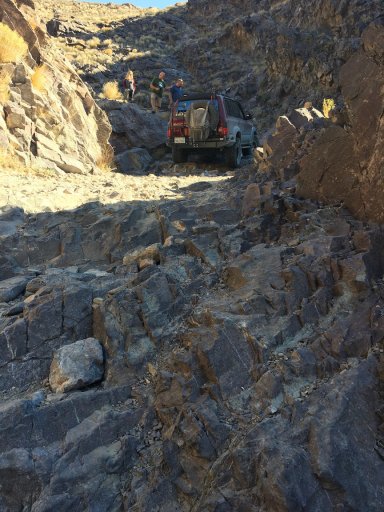
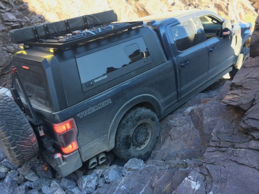
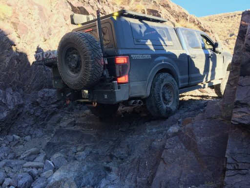
Next was Jeff's turn...
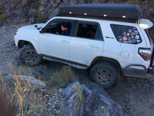
Sergio made it up next...
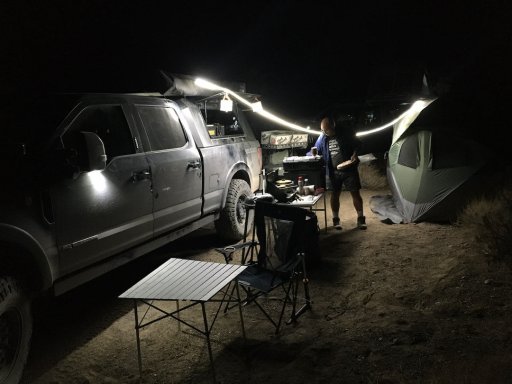
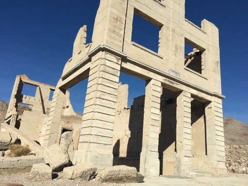
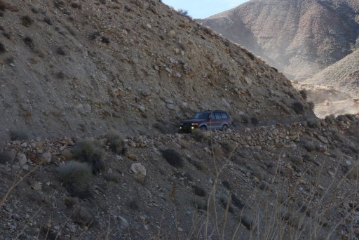
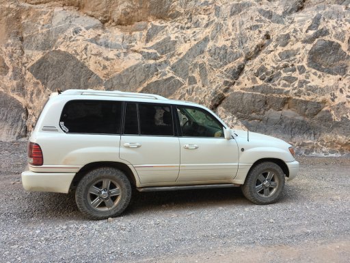
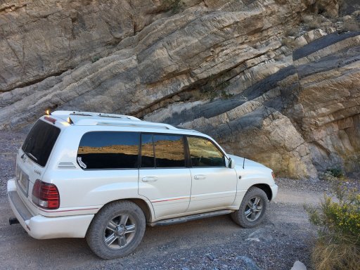
At this point, I decided the waterfall was a bit too much for my LX470 with its 32" tires. Even though I was assured by everyone in the group that they could get me up the falls, I decided to turn around and head back down Echo Canyon to meet up with both groups later at the Chloride City Townsite... Someplace I've never been...
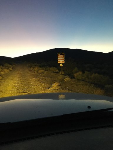
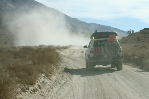
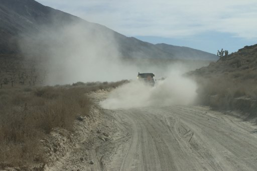
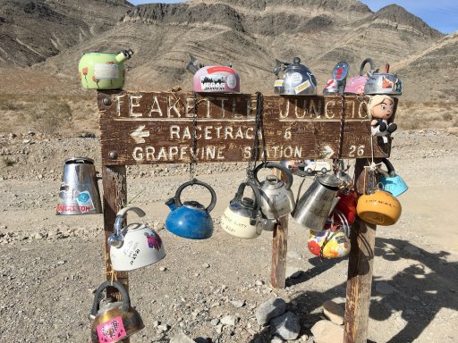
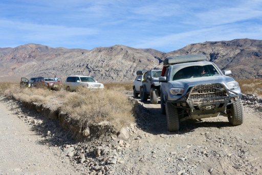
I stopped for a few photos on the way down Echo Canyon and after airing up headed back into Furnace Creek for some information gathering at the Visitor's Center and enough gas to make sure I can make it to Beatty, NV since I planned on taking the dirt road off 190 to Chloride City. It was at the Visitor's Center that I picked up the great news that the road to the Racetrack had gotten so bad that the road crew had graded the road this week. I also received the bad news that our planned route along Hidden Valley Road was deemed impassable because of a half-mile long, 4-foot deep silty sand deposit covering a section of the road. We would have to take another way down from the Racetrack...
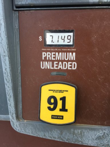
Oh... the price of gas in Furnace Creek...
I'll start with the last couple of posts from the other thread as that seems to be when the trouble started...
Here we go...
Lunch at Furnace Creek was nice... Most of us sat at the picnic benches in the shade at the Borax Museum. This outside museum has some nice artifacts to see, including this Death Valley Railroad locomotive.
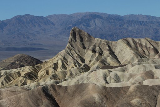
We made a quick stop after lunch at Zabriski Point to take in the view dominated by Manly Beacon.
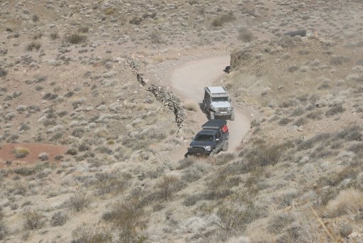
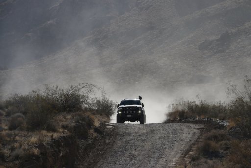
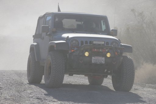
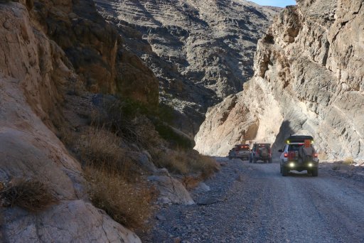
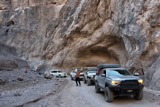
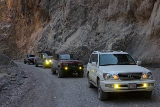
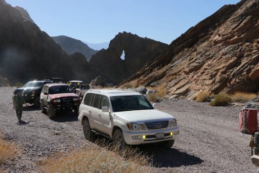
From there, we back-tracked a bit, aired down and headed up popular Echo Canyon. We only stopped once at Eye of the Needle before getting to the Dry Falls...
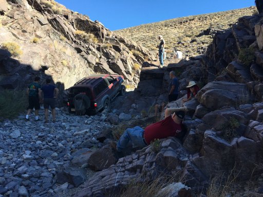
We saw many Jeeps heading down Echo Canyon... All were dejected saying the falls were impassable. When we arrived there was a small crown eying the falls and enjoying the attempts. Both Greg and Bobby drove up the falls with what seemed like very little effort as they picked the perfect line. The other vehicles had a bit more trouble... Here, Alfredo starts his attempt.
After some expert spotting he was able to make it up...
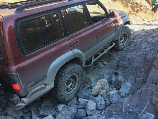
Next was Jeff's turn...
Sergio made it up next...
At this point, I decided the waterfall was a bit too much for my LX470 with its 32" tires. Even though I was assured by everyone in the group that they could get me up the falls, I decided to turn around and head back down Echo Canyon to meet up with both groups later at the Chloride City Townsite... Someplace I've never been...
I stopped for a few photos on the way down Echo Canyon and after airing up headed back into Furnace Creek for some information gathering at the Visitor's Center and enough gas to make sure I can make it to Beatty, NV since I planned on taking the dirt road off 190 to Chloride City. It was at the Visitor's Center that I picked up the great news that the road to the Racetrack had gotten so bad that the road crew had graded the road this week. I also received the bad news that our planned route along Hidden Valley Road was deemed impassable because of a half-mile long, 4-foot deep silty sand deposit covering a section of the road. We would have to take another way down from the Racetrack...
Oh... the price of gas in Furnace Creek...
Last edited: