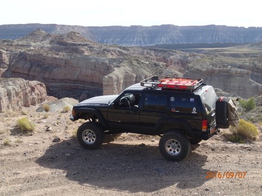
 My wife was off on Wednesday and Thursday, so we decided to take the jeep over to Capitol Reef N.P. and explore the Cathedral Valley. So we went and checked in at the visitor center, and we met a ranger that my wife used to work with, so after visiting a while we were on our way.
The loop begins outside the park a couple of miles, We had to ford the Fremont River, lucky for us it was only about 10 inches deep though. I asked my wife to get out and walk ahead and take pics as I made the crossing, but she refused, not a team player I guess. LOL
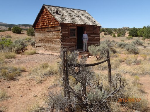
So the loop trail is 58 miles with a campsite about halfway, up at 7000 ft. elevation, but it was too early in the day to set up camp, so we just went our way.
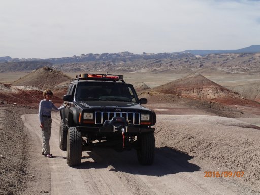
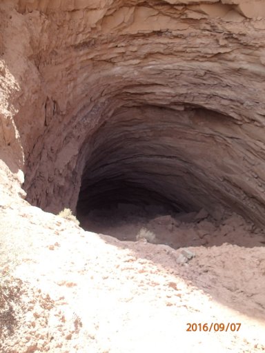
The sinkhole is where there was a plug of gypsum that dissolved and left this depression, again I asked my wife to climb down and check it out, but was met with another flat refusal.
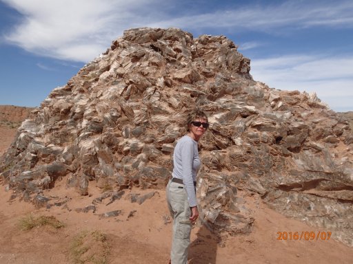
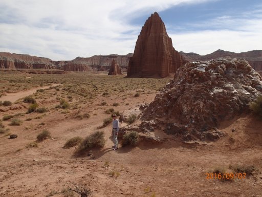
Then we headed to the Temple of the Sun, and Moon, and Glass Mountain, actually more of a hill made of gypsum.
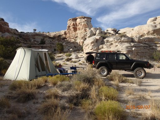
And our camp for the night off Caineville Wash Rd.
After a beautiful starry night, we headed back home the next morning after a visit to Goblin Valley.