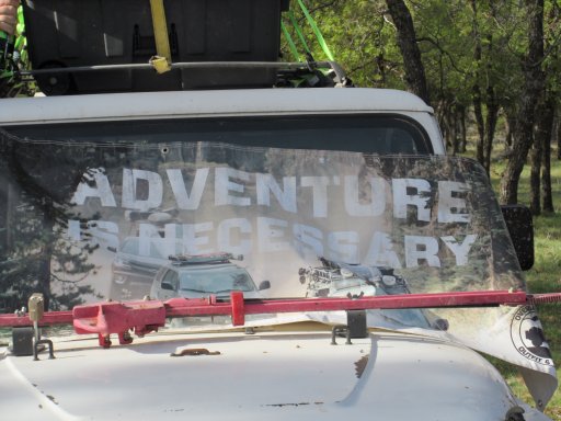
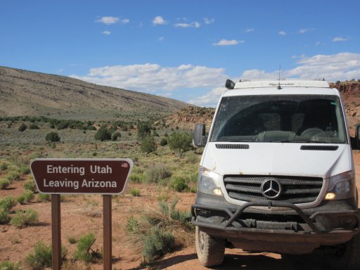
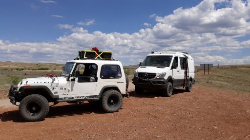
Member III
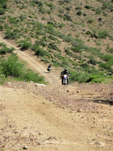
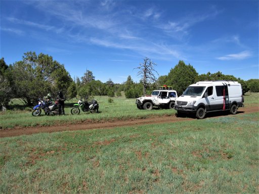
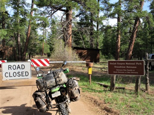
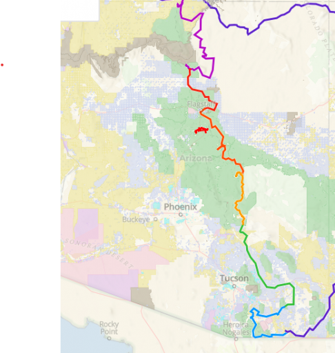
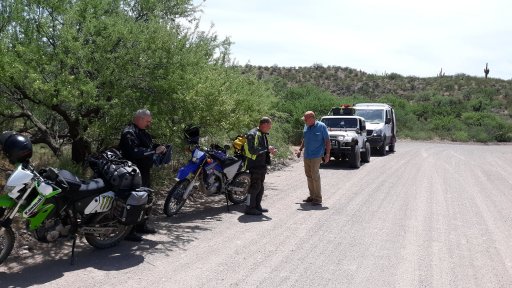
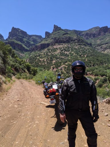
On May 9, I packed up the van and drove 415 miles to Bisbee, AZ to stage for a trip up the Arizona Backcountry Discovery Route. As a side note, one of the owners of the Jonquil Motel where I stayed in Bisbee filmed the videos for the BDRs, and the other works for Overland Expo. Small world! I had originally planned to go to Overland Expo to gawk at stuff to buy for my new little truck, and decided to do the BDR to get there. I thought of doing it solo, but then Bill (Trailjeeper) and I linked up on Overland Bound, as he and his brother were interested in doing the same route. When Expo was canceled, we were determined to do the trip anyway. Bill has an old Jeep YJ, Bill’s brother Patrick and his friend John were riding dual-sport bikes, and I was in our Sportsmobile.
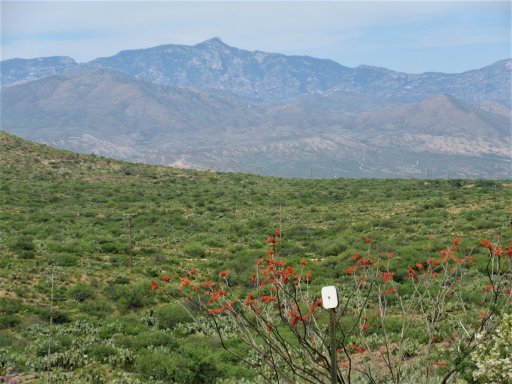
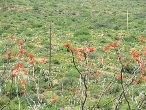
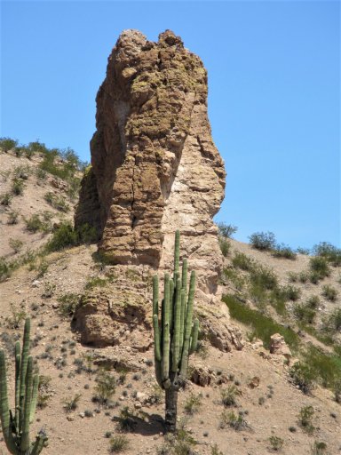
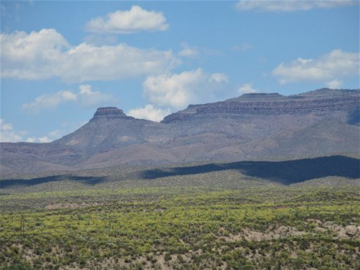
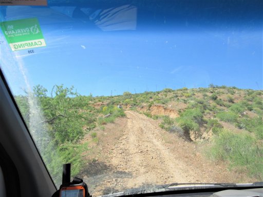
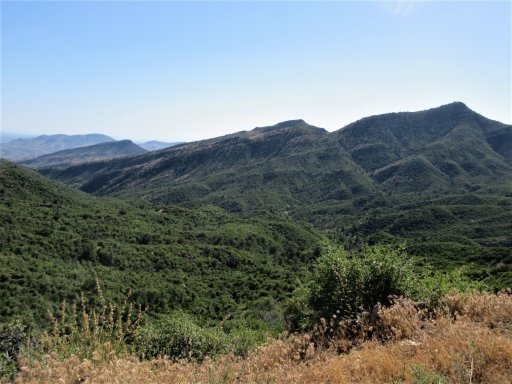
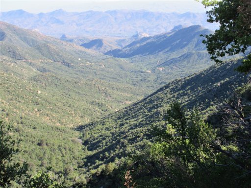
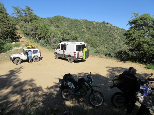
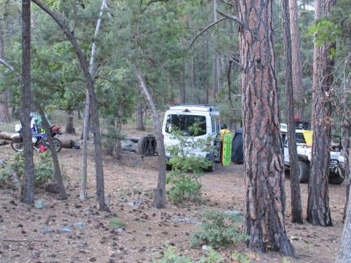
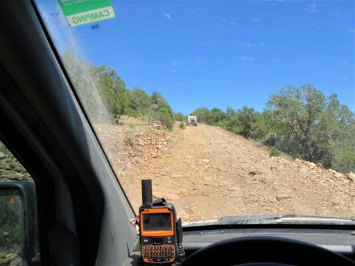
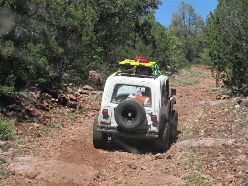
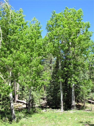
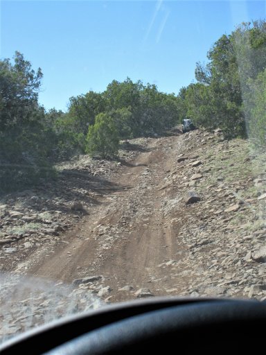
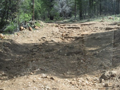
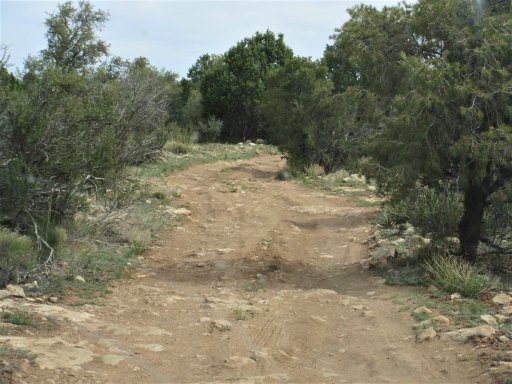
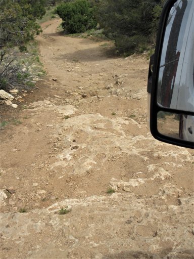
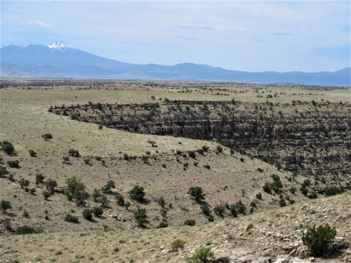
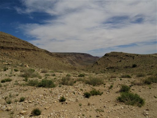
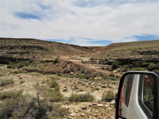
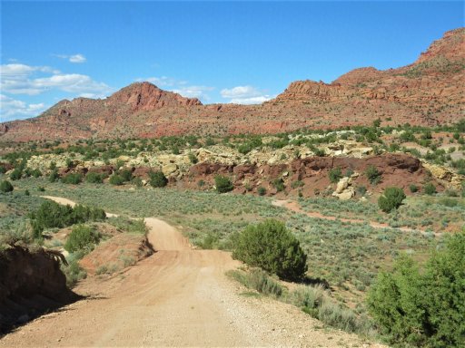
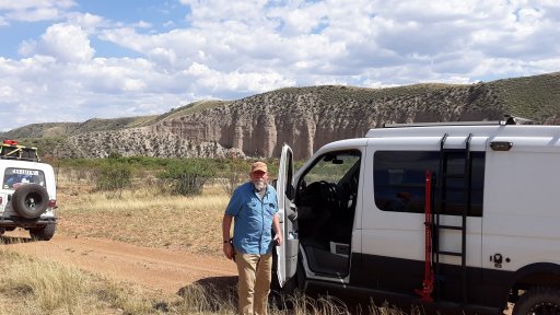
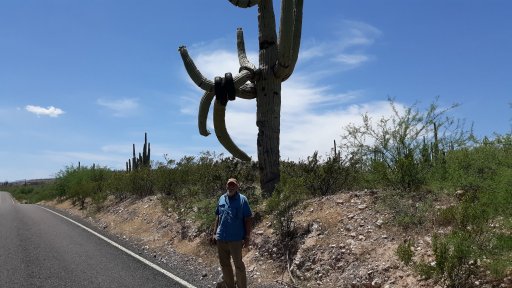
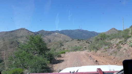
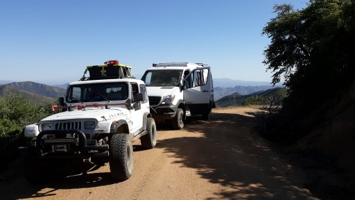
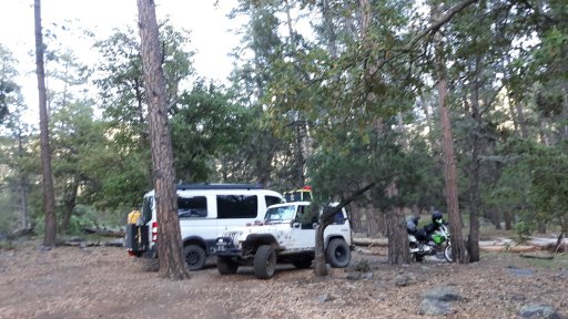
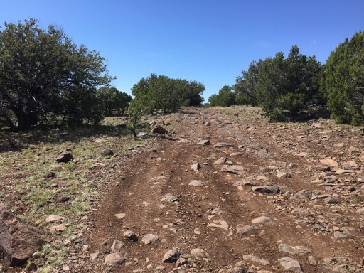
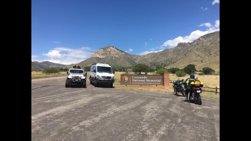
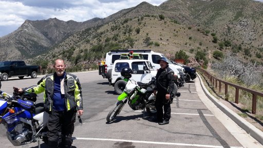
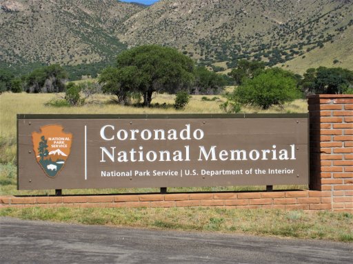
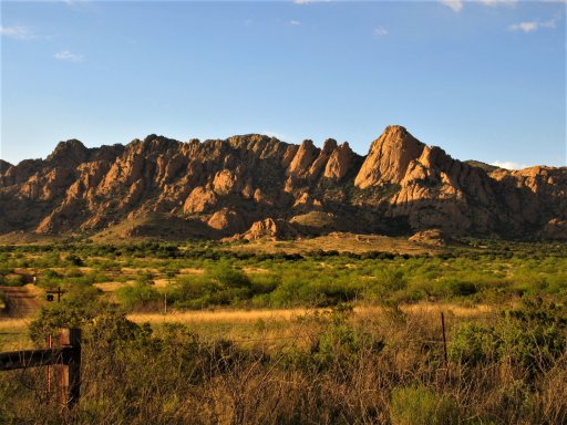
Day 1 – I met the others at Coronado National Memorial. The border area in that part of AZ is at about 5,000 feet, so not nearly as hot and arid as I expected. We started out up over Montezuma Pass and back down to the border fence, the Southernmost point on the trip. We then wound our way up Canelo pass and down into Sonoita for gas. Out of Sonoita, we traveled through some kinda rough rocky arroyos and then out to the highway by Whetstone. Here we varied from the BDR route and went East to Tombstone for gas, and then into the Dragoon Mountains where we camped for the night. Bill and Patrick grew up in this area. Bill still lives in the area and is very familiar with the roads and trails, so he picked a route for days 1 and 2 which he thought would be more interesting than the established route. It was a great change! We covered about 170 miles.
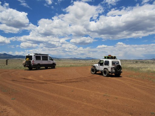
At the start
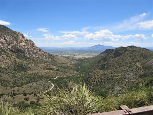
At the top of Montezuma Pass
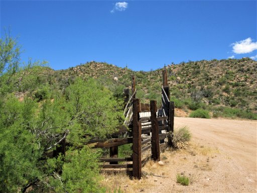
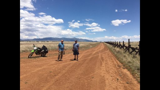
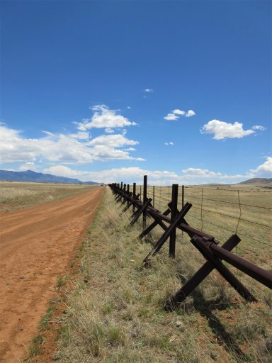
At the border fence (made of railroad rails)
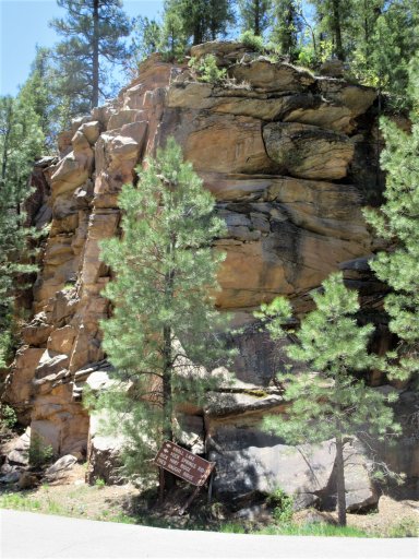
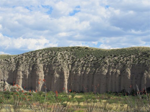
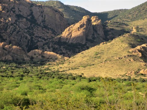
Dirt cliffs north of Sonoita
The Dragoons at sunset
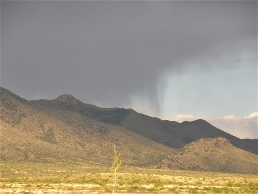
Rain threatened but never materialized
Day 1 – I met the others at Coronado National Memorial. The border area in that part of AZ is at about 5,000 feet, so not nearly as hot and arid as I expected. We started out up over Montezuma Pass and back down to the border fence, the Southernmost point on the trip. We then wound our way up Canelo pass and down into Sonoita for gas. Out of Sonoita, we traveled through some kinda rough rocky arroyos and then out to the highway by Whetstone. Here we varied from the BDR route and went East to Tombstone for gas, and then into the Dragoon Mountains where we camped for the night. Bill and Patrick grew up in this area. Bill still lives in the area and is very familiar with the roads and trails, so he picked a route for days 1 and 2 which he thought would be more interesting than the established route. It was a great change! We covered about 170 miles.
At the start
At the top of Montezuma Pass
At the border fence (made of railroad rails)
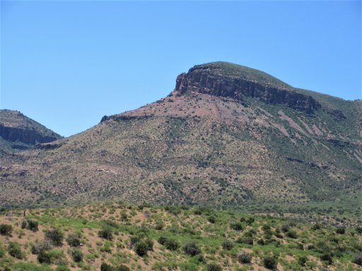
Dirt cliffs north of Sonoita
The Dragoons at sunset
Rain threatened but never materialized