

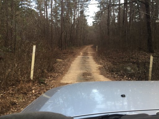
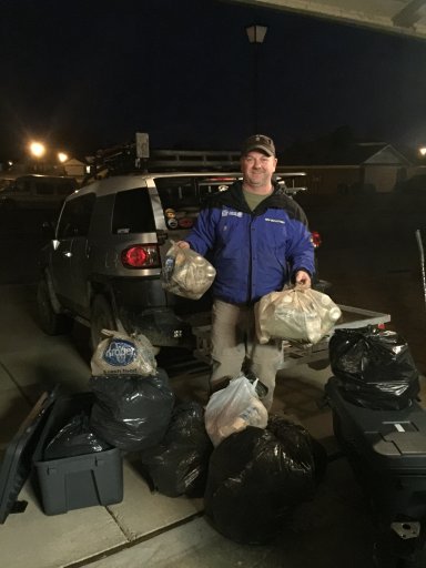
After my wife and had finished up our Dedicated Trash Run, we decided that since we had some daylight left we would go exploring a little around the area. I found on the Gaiagps maps a watershed I had never been to before. It was called Dry Fork Lake. So we took off from the west to check it out. On the way we came across this really old looking school.
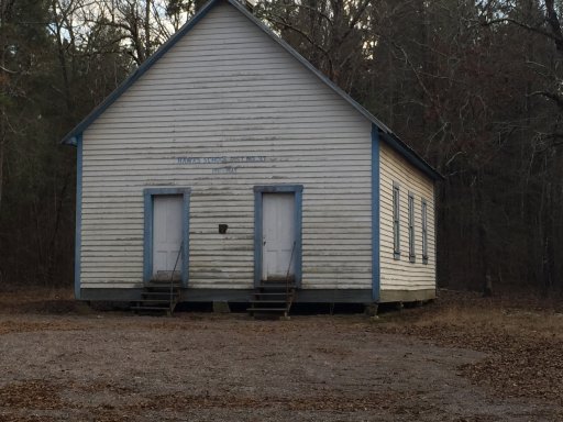
I've lived in this area all my life and have never seen this or knew it was there. It was 100+ years old and had a plaque on the front stating it is listed on the National Historic Registry. Very cool. We stopped and took it in for a little bit, wondering how far the students had to walk to get here and what it looked like on the inside.
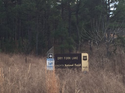
We continued down the road a ways and noticed the sign for the lake.
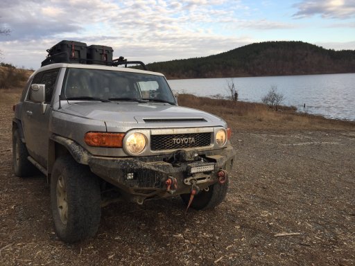
we turned and headed toward the lake. To the left of the lake is a road toward a cemetery. It is just a loop. If you go straight in the curve you will come to a tight road that will come up and over the wall of the watershed. This is a really nice sized watershed stocked with fish.
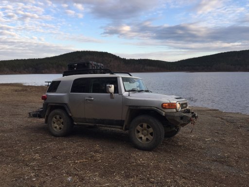
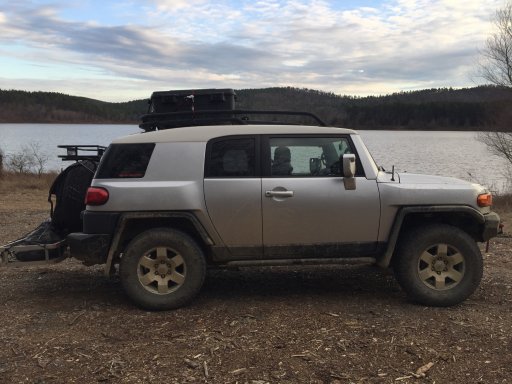
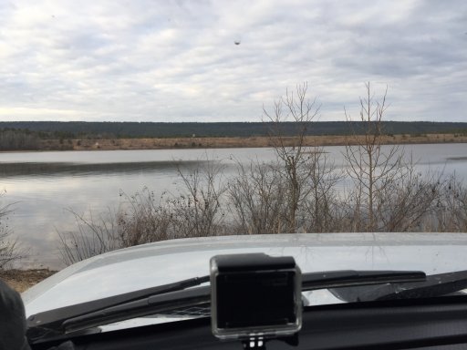
There is one camping spot on the north side and then a peninsula goes out on the south side with multiple spots to camp and fish. Also on the south side of the lake is a trail that looks like it leads back out to Hwy 7. We plan to go back to this trail and see how it is. When we do that we will publish here.
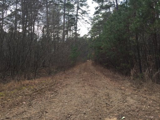
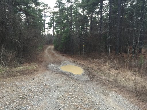 We were running out of light and decided to start heading back.
All in all this was a nice little place to put on the list as places to stay for the night if traveling around the Ouachitas. Very quiet. Little to no traffic especially at night. Campsites do not get used very often but the places around there are open and offer nice views of the lake.
The gaiagps maps are uploaded in the attached files.
See you on the trails...BROfessor out
I've lived in this area all my life and have never seen this or knew it was there. It was 100+ years old and had a plaque on the front stating it is listed on the National Historic Registry. Very cool. We stopped and took it in for a little bit, wondering how far the students had to walk to get here and what it looked like on the inside.
We continued down the road a ways and noticed the sign for the lake.
we turned and headed toward the lake. To the left of the lake is a road toward a cemetery. It is just a loop. If you go straight in the curve you will come to a tight road that will come up and over the wall of the watershed. This is a really nice sized watershed stocked with fish.
There is one camping spot on the north side and then a peninsula goes out on the south side with multiple spots to camp and fish. Also on the south side of the lake is a trail that looks like it leads back out to Hwy 7. We plan to go back to this trail and see how it is. When we do that we will publish here.
We were running out of light and decided to start heading back.All in all this was a nice little place to put on the list as places to stay for the night if traveling around the Ouachitas. Very quiet. Little to no traffic especially at night. Campsites do not get used very often but the places around there are open and offer nice views of the lake.
The gaiagps maps are uploaded in the attached files.
See you on the trails...BROfessor out
Attachments
-
 1.4 MB Views: 19
 -
 3.4 MB Views: 23
 -
 2.3 MB Views: 23
 -
 1.5 MB Views: 20

